


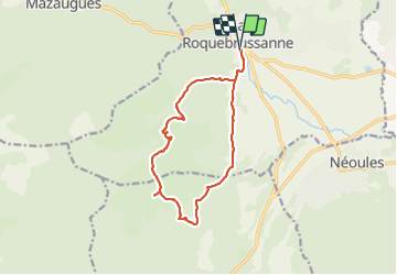
Jas d'Agnis au départ de la Roquebrussanne par le vallon de Valescure

FSantoni
User


4h23
Difficulty : Very difficult

FREE GPS app for hiking
 SityTrail
IGN / Geographical institutes
SityTrail Plus
The world is yours!
About
Trail Walking of 14.1 km to be discovered at Provence-Alpes-Côte d'Azur, Var, La Roquebrussanne. This trail is proposed by FSantoni.
Description
Trés beau parcours. Attention cependant aux patous et autres bergers d'Anatolie gardiens vigilants de leurs troupeaux.
Attention également, la dernière descente se fait par une draille qui mérite prudence.
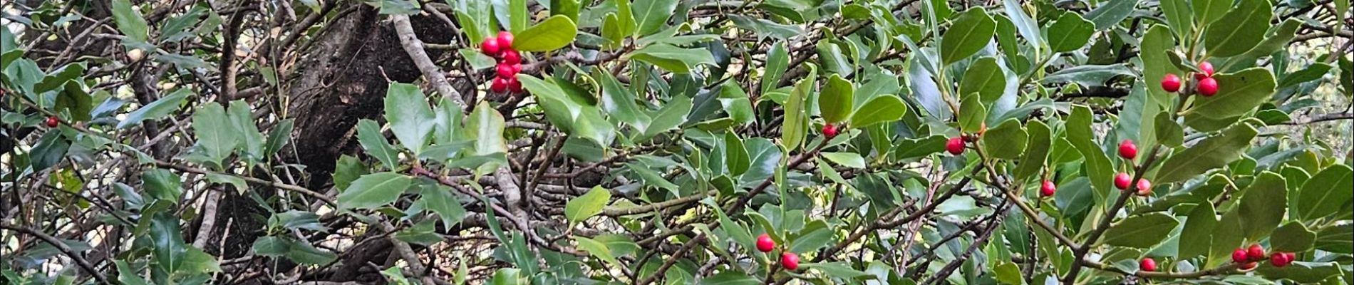
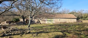
Photos


Positioning
Comments